|
|
Secamone elliptica |
Secamone elliptica |
| |
|
 |
.JPG) |
|
|
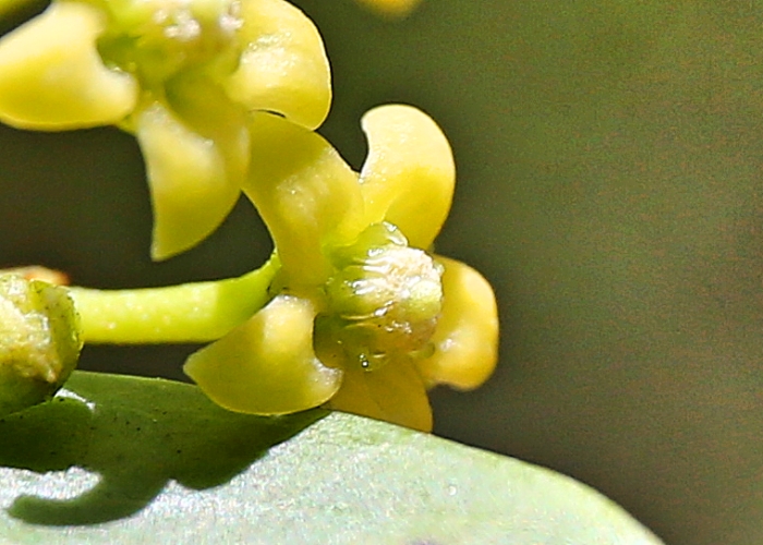
Description: Flowers |
Description: Flower and leaves |
| |
|
Location:
Forty Mile Scrub National Park, Mt Garnet, North Queensland |
Location:
Forty Mile Scrub National Park, Mt Garnet, North Queensland |
| |
|
GPS coordinates: 18˚06.5004S
144˚49.5252E |
GPS coordinates: 18˚06.5004S
144˚49.5252E |
| |
|
Date:22
January 2017 |
Date:22
January 2017 |
| |
|
Field
No.:5955 |
Field
No.:5955 |
|
|
|
|
| |
|
Secamone elliptica |
Secamone elliptica |
| |
|
.JPG) |
.JPG) |
| |
|
Description: Plant |
Description:Plant |
| |
|
Location:
Forty Mile Scrub National Park, Mt Garnet, North Queensland |
Location:
Forty Mile Scrub National Park, Mt Garnet, North Queensland |
| |
|
GPS coordinates: 18˚06.5004S
144˚49.5252E |
GPS coordinates: 18˚06.5004S
144˚49.5252E |
| |
|
Date:22
January 2017 |
Date:22
January 2017 |
| |
|
Field
No.:5955 |
Field
No.:5955 |
| |
|
|
|
| |
|
Secamone elliptica |
Secamone elliptica |
| |
|
.JPG) |
.JPG) |
| |
|
Description: Flower showing
scrambling habit |
Description: Scrambling vine |
| |
|
Location:
Forty Mile Scrub National Park, Mt Garnet, North Queensland |
Location:
Forty Mile Scrub National Park, Mt Garnet, North Queensland |
| |
|
GPS coordinates: 18˚06.5004S
144˚49.5252E |
GPS coordinates: 18˚06.5004S
144˚49.5252E |
|
|
Date:22
January 2017 |
Date:22
January 2017 |
| |
|
Field
No.:5955 |
Field
No.:5955 |
| |
|
|
|
| |
|
Secamone elliptica |
Secamone elliptica |
| |
|
.JPG) |
.JPG) |
| |
|
Description: Fruit |
Description: Plant |
| |
|
Location:
Rex Lookout, Captain Cook Highway,
Wangetti Beach, North Queensland |
Location:
Rex Lookout, Captain Cook Highway,
Wangetti Beach, North Queensland |
| |
|
GPS coordinates: 16˚38.7912S
145˚33.9084E |
GPS coordinates: 16˚38.7912S
145˚33.9084E |
| |
|
Date:9
March 2017 |
Date:9
March 2017 |
| |
|
Field
No.:5989 |
Field
No.:5989 |
| |
|
|
|
| |
|
Secamone elliptica |
Secamone elliptica |
| |
|
.JPG) |
.JPG) |
| |
|
Description: Flowers and leaves |
Description: Flowers and fruit |
| |
|
Location:
Rex Lookout, Captain Cook Highway,
Wangetti Beach, North Queensland |
Location:
Rex Lookout, Captain Cook Highway,
Wangetti Beach, North Queensland |
| |
|
GPS coordinates: 16˚38.7912S
145˚33.9084E |
GPS coordinates: 16˚38.7912S
145˚33.9084E |
| |
|
Date:9
March 2017 |
Date:9
March 2017 |
| |
|
Field
No.:5989 |
Field
No.:5989 |
| |
|
|
|

.JPG)
.JPG)
.JPG)
.JPG)
.JPG)
.JPG)
.JPG)
.JPG)
.JPG)
