.JPG)
.JPG)
.JPG)
.JPG)
.JPG)
.JPG)
.JPG)
.JPG)
.JPG)
.JPG)
.JPG)
.JPG)


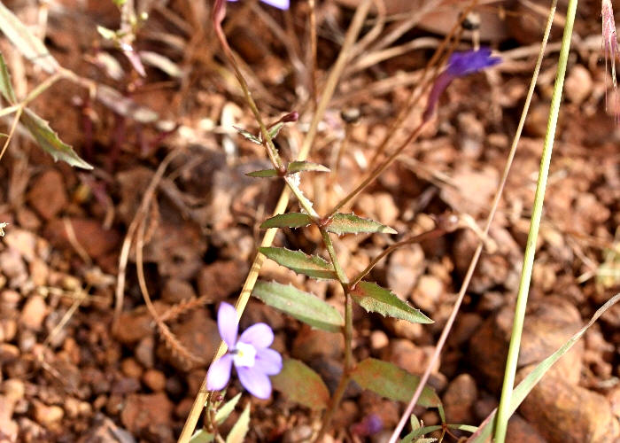
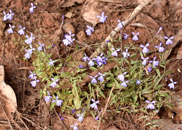
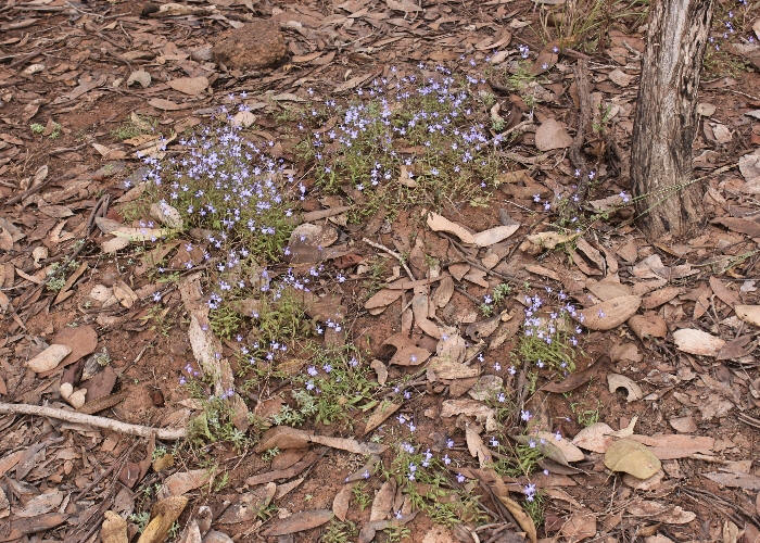
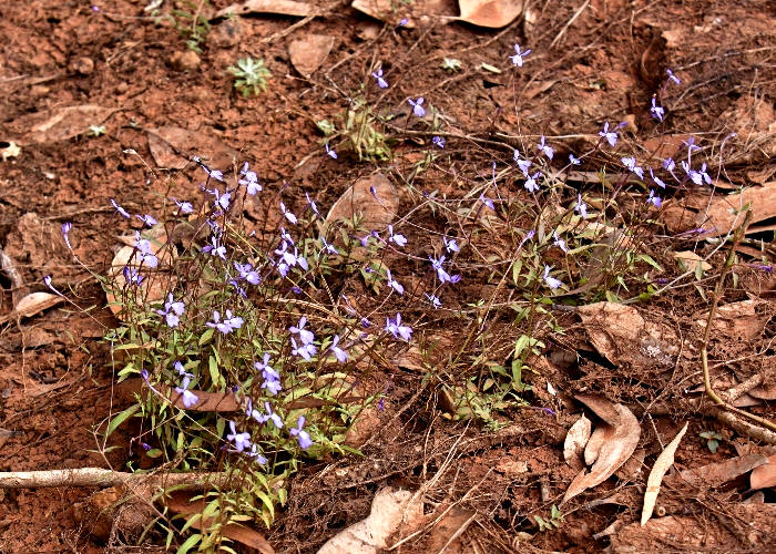
| Lobelia douglasiana | Lobelia douglasiana | |
.JPG) |
.JPG) |
|
| Description:Flower | Description:Flower | |
| Location:King Edward River, Kimberleys, Western Australia | Location:King Edward River, Kimberleys, Western Australia | |
| GPS coordinates:15˚03.2760S, 126°12.9978E | GPS coordinates:15˚03.2760S, 126°12.9978E | |
| Date of photo:16 July 2016 | Date of photo:16 July 2016 | |
| Field No.:5057 | Field No.:5057 | |
| Lobelia douglasiana | Lobelia douglasiana | |
.JPG) |
.JPG) |
|
| Description:Leaf | Description:Flower - side view | |
| Location:King Edward River, Kimberleys, Western Australia | Location:King Edward River, Kimberleys, Western Australia | |
| GPS coordinates:15˚03.2760S, 126°12.9978E | GPS coordinates:15˚03.2760S, 126°12.9978E | |
| Date of photo:16 July 2016 | Date of photo:16 July 2016 | |
| Field No.:5057 | Field No.:5057 | |
| Lobelia douglasiana | Lobelia douglasiana | |
.JPG) |
.JPG) |
|
| Description:Flower | Description:Flower - lateral view | |
| Location:Peninsula Development Rd, North of Hann River, North Queensland | Location:Peninsula Development Rd, North of Hann River, North Queensland | |
| GPS coordinates:14˚59.091S 143˚36.419E | GPS coordinates:14˚59.091S 143˚36.419E | |
| Date of photo:31 May 2013 | Date of photo:31 May 2013 | |
| Field No.:2064 voucher specimen | Field No.:2064 voucher specimen | |
| Lobelia douglasiana | Lobelia douglasiana | |
.JPG) |
.JPG) |
|
| Description:Flower | Description:Plant | |
| Location:Peninsula Development Rd, North of Hann River, North Queensland | Location:Peninsula Development Rd, North of Hann River, North Queensland | |
| GPS coordinates:14˚59.091S 143˚36.419E | GPS coordinates:14˚59.091S 143˚36.419E | |
| Date of photo:31 May 2013 | Date of photo:31 May 2013 | |
| Field No.:2064 voucher specimen | Field No.:2064 voucher specimen | |
| Lobelia douglasiana | Lobelia douglasiana | |
.JPG) |
.JPG) |
|
| Description:Plant | Description:Flower | |
| Location:Pipeline Rd, Bamaga, North Queensland | Location:Sheldon's Lagoon, North Queensland | |
| GPS coordinates:10˚57.752S 142˚20.222E | GPS coordinates:11˚33.912S 142˚26.810E | |
| Date of photo:13 July 2010 | Date of photo:7 June 2013 | |
| Field No.:727A | Field No.:2147 | |
| Lobelia douglasiana | Lobelia douglasiana | |
.JPG) |
.JPG) |
|
| Description:Flower | Description:Flower - lateral view | |
| Location:Southern Bypass Rd, Cape York Peninsula, North Queensland | Location:Southern Bypass Rd, Cape York Peninsula, North Queensland | |
| GPS coordinates:12˚45.776S 142˚42.731E | GPS coordinates:12˚45.776S 142˚42.731E | |
| Date of photo:11 July 2010 | Date of photo:11 July 2010 | |
| Field No.:716 | Field No.:716 | |
| Lobelia douglasiana | Lobelia douglasiana | |
 |
 |
|
| Description:Leaves | Description:Plant on roadside | |
| Location:Southern Bypass Rd, Cape York Peninsula, North Queensland | Location:Southern Bypass Rd, Cape York Peninsula, North Queensland | |
| GPS coordinates:12˚45.776S 142˚42.731E | GPS coordinates:12˚45.776S 142˚42.731E | |
| Date of photo:11 July 2010 | Date of photo:11 July 2010 | |
| Field No.:716 | Field No.:716 | |
| Lobelia douglasiana | Lobelia douglasiana | |
 |
 |
|
| Description:Plant on roadside | Description:Plant on roadside | |
| Location:Southern Bypass Rd, Cape York Peninsula, North Queensland | Location:Southern Bypass Rd, Cape York Peninsula, North Queensland | |
| GPS coordinates:12˚45.776S 142˚42.731E | GPS coordinates:12˚45.776S 142˚42.731E | |
| Date of photo:11 July 2010 | Date of photo:11 July 2010 | |
| Field No.:716 | Field No.:716 | |
https://florabase.dpaw.wa.gov.au/browse/profile/37520
http://eflora.nt.gov.au/factsheet?id=1049831
Image use policy 
This work is licensed under a
Creative Commons Attribution-Noncommercial 2.5 Australia License.
Page created 7 March 2015
Page edited 30 September 2017
© Roger Fryer and Jill Newland 2015 - 2017