.JPG)
.JPG)


1.JPG)
1.JPG)
.JPG)
.JPG)
| Stackhousia pulvinaris | Stackhousia pulvinaris | |
.JPG) |
.JPG) |
|
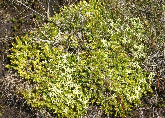
| Description:Plant | Description:Plant | |
| Location: Rocky Valley Creek, Falls Creek, Victoria | Location: Rocky Valley Creek, Falls Creek, Victoria | |
| GPS coordinates:36˚52.195S, 147°19.118E | GPS coordinates:36˚52.195S, 147°19.118E | |
| Date of photo:4 January 2017 | Date of photo:4 January 2017 | |
| Field No.:5908 | Field No.:5908 | |
| Stackhousia pulvinaris | Stackhousia pulvinaris | |
 |
 |
|
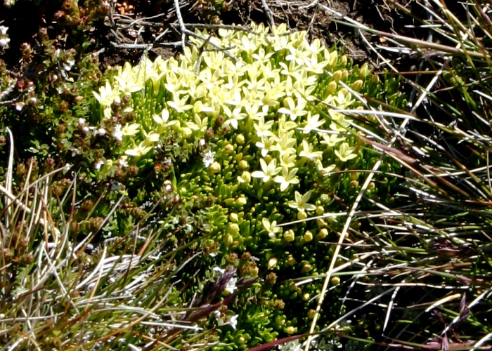
| Description:Plant | Description:Flowers | |
| Location: Mt Kosciuszko Track, Thredbo, New South Wales | Location: Mt Kosciuszko Track,Thredbo, New South Wales | |
| GPS coordinates: 36˚29.633S 148˚17.258E | GPS coordinates: 36˚29.633S 148˚17.258E | |
| Date of photo:2 January 2009 | Date of photo:31 December, 2008 | |
| Field No.:U612 | Field No.:U611 | |
| Stackhousia pulvinaris | Stackhousia pulvinaris | |
1.JPG) |
1.JPG) |
|
| Description:Plant at end of flowering | Description:Plant | |
| Location: Mt Kosciuszko Track, Thredbo, New South Wales | Location: Mt Kosciuszko Track, Thredbo, New South Wales | |
| GPS coordinates: 36˚29.633S 148˚17.258E | GPS coordinates: 36˚29.633S 148˚17.258E | |
| Date of photo:23 January 2012 | Date of photo:23 January 2012 | |
| Field No.:U610 | Field No.:U610 | |
| Stackhousia pulvinaris | Stackhousia pulvinaris | |
.JPG) |
.JPG) |
|
| Description:Flower | Description:Flowers and buds | |
| Location: Mt Kosciuszko Track, Thredbo, New South Wales | Location: Mt Kosciuszko Track, Thredbo, New South Wales | |
| GPS coordinates: 36˚29.633S 148˚17.258E | GPS coordinates: 36˚29.633S 148˚17.258E | |
| Date of photo:17 February 2014 | Date of photo:17 February 2014 | |
| Field No.:2436 | Field No.:2436 | |
References (accessed 26 January 2017):
Barker, W.R. in George A.S.(ed.) (1984) Stackhousiaceae. Flora of Australia 22: 186-197
Image use policy 
This work is licensed under a
Creative Commons Attribution-Noncommercial 2.5 Australia License.
Page created 2 July 2011
Page edited 9 February 2017
© Roger Fryer and Jill Newland 2011 - 2017