.JPG)
11.JPG)
.JPG)

.JPG)
.JPG)
.JPG)
.JPG)
| Leucopogon lavarackii | Leucopogon lavarackii | |
.JPG) |
11.JPG) |
|
| Description:Flowers and leaves | Description:Flowers | |
| Location:Tozer's Gap, Iron Range, North Queensland | Location:Tozer's Gap, Iron Range, North Queensland | |
| GPS coordinates: 12˚43.512S 143˚12.053E | GPS coordinates: 12˚43.512S 143˚12.053E | |
| Date of photo:2 June 2013 | Date of photo:2 June 2013 | |
| Field No.:2091 | Field No.:2091 | |
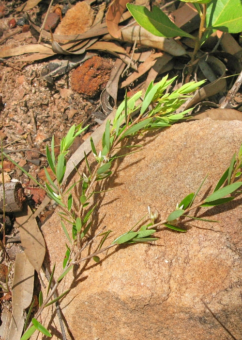
| Leucopogon lavarackii | Leucopogon lavarackii | |
.JPG) |
 |
|
| Description:Plant | Description:Plant | |
| Location:Tozer's Gap, Iron Range, North Queensland | Location:Isabella Falls, Cooktown, North Queensland | |
| GPS coordinates: 12˚43.512S 143˚12.053E | GPS coordinates: N/A | |
| Date of photo:2 June 2013 | Date of photo:26 April 2008 | |
| Field No.:2091 | Field No.:U739 | |
| Leucopogon lavarackii | Leucopogon lavarackii | |
.JPG) |
.JPG) |
|
| Description:Flower | Description:Flower | |
| Location:Battle Camp Road, Cooktown, North Queensland | Location:Battle Camp Road, Cooktown, North Queensland | |
| GPS coordinates: 15˚15.8586S 144˚57.2190E | GPS coordinates: 15˚15.8586S 144˚57.2190E | |
| Date of photo:25 February 2016 | Date of photo:25 February 2016 | |
| Field No.:3868 | Field No.:3868 | |
| Leucopogon lavarackii | Leucopogon lavarackii | |
.JPG) |
.JPG) |
|
| Description:Plant in habitat | Description:Plant | |
| Location:Battle Camp Road, Cooktown, North Queensland | Location:Battle Camp Road, Cooktown, North Queensland | |
| GPS coordinates: 15˚15.8586S 144˚57.2190E | GPS coordinates: 15˚15.8586S 144˚57.2190E | |
| Date of photo:25 February 2016 | Date of photo:25 February 2016 | |
| Field No.:3868 | Field No.:3868 |
Reference:
Pedley, L, (1990) Notes
on Leucopogon R. Br. (Epacridaceae) in Queensland, Austrobaileya 3(2):265-271
Image use policy 
This work is licensed under a
Creative Commons Attribution-Noncommercial 2.5 Australia License.
Page created 18 July 2012
Page edited 18 September 2017
© Roger Fryer and Jill Newland 2012 - 2017