1.JPG)
.JPG)

.JPG)

.JPG)
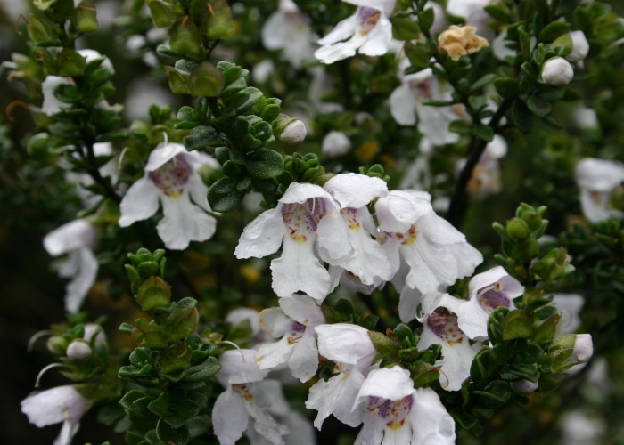
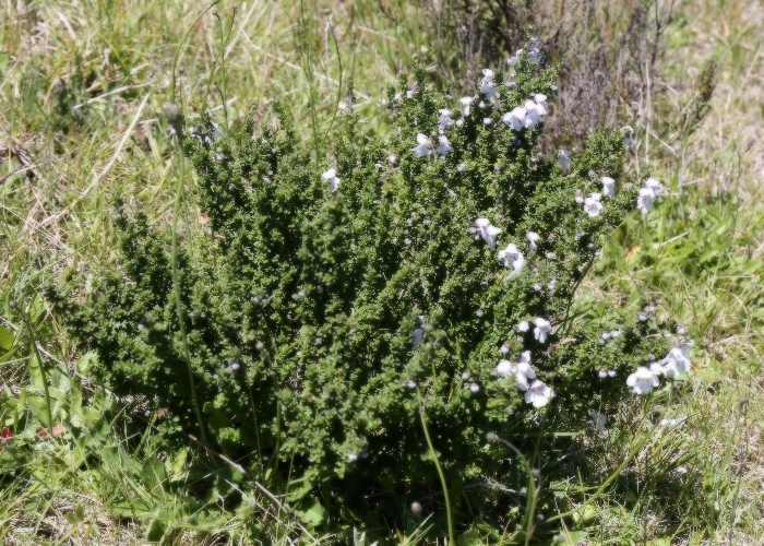
| Prostanthera cuneata | Prostanthera cuneata | |
1.JPG) |
.JPG) |
|
| Description:Flowers | Description:Plant | |
| Location:Falls Creek,Victoria | Location:Summit, Mt Buffalo, Victoria | |
| GPS coordinates:N/A | GPS coordinates: 36˚46.499S 146˚45.941E | |
| Date of photo:19 January 2012 | Date of photo:10 February 2014 | |
| Field No.:U523 | Field No.:2395 | |
| Prostanthera cuneata | Prostanthera cuneata | |
 |
.JPG) |
|
| Description:Plant | Description:Plant | |
| Location:Thredbo, New South Wales | Location:Summit, Mt Buffalo, Victoria | |
| GPS coordinates:N/A | GPS coordinates: 36˚46.499S 146˚45.941E | |
| Date of photo:30 December 2008 | Date of photo:10 February 2014 | |
| Field No.:U524 | Field No.:2395 | |
| Prostanthera cuneata | Prostanthera cuneata | |
 |
.JPG) |
|
| Description:Plant | Description:Flowers | |
| Location:Roper's Track, Falls Creek, Victoria | Location:Roper's Track, Falls Creek, Victoria | |
| GPS coordinates: 36˚52.2890S 147˚17.790E | GPS coordinates: 36˚52.2890S 147˚17.790E | |
| Date of photo:3 January 2017 | Date of photo:3 January 2017 | |
| Field No.:5886A | Field No.:5886A | |
References (accessed 11 February 2017):
https://vicflora.rbg.vic.gov.au/flora/taxon/b6cb55e7-35dc-4db3-8da4-2c580836d838
http://www.cpbr.gov.au/gnp/interns-2005/prostanthera-cuneata.html
Image use policy 
This work is licensed under a
Creative Commons Attribution-Noncommercial 2.5 Australia License.
Page created 9 October 2011
Page edited 20 February 2017
© Roger Fryer and Jill Newland 2011 - 2017
Prostanthera cuneata