1.JPG)
.JPG)
.JPG)
.JPG)
.JPG)
| Pemphis acidula | Pemphis acidula | |
|
|
|
|
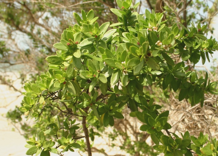
| Description:Flower | Description:Plant on the beach | |
| Location:Chili Beach, Iron Range, North Queensland | Location:Chili Beach, Iron Range, North Queensland | |
| GPS coordinates: 12˚37.275S 143˚26.271E | GPS coordinates: 12˚37.275S 143˚26.271E | |
| Date of photo:24 September 2007 | Date of photo:4 June 2013 | |
| Field No.:U487 | Field No.:2106 | |
| Pemphis acidula | Pemphis acidula | |
|
|
|
|
| Description:Flower | Description:Plant | |
| Location:Chili Beach, Iron Range, North Queensland | Location:Chili Beach, Iron Range, North Queensland | |
| GPS coordinates: 12˚37.275S 143˚26.271E | GPS coordinates: 12˚37.275S 143˚26.271E | |
| Date of photo:24 September 2007 | Date of photo:24 September 2007 | |
| Field No.:U487 | Field No.:U487 | |
| Pemphis acidula | Pemphis acidula | |
|
|
|
|
| Description:Side view of fruit | Description:Flower and fruit. | |
| Location:Archer Point, Cooktown, North Queensland | Location:Archer Point, Cooktown, North Queensland | |
| GPS coordinates: 15˚36.180S 145˚19.488E | GPS coordinates: 15˚36.180S 145˚19.488E | |
| Date of photo:7 April 2013 | Date of photo:7 April 2013 | |
| Field No.:2032 | Field No.:2032 | |
Image use policy 
This work is licensed under a
Creative Commons Attribution-Noncommercial 2.5 Australia License.
Page created 17 June 2011
Page edited 1 June 2017
© Roger Fryer and Jill Newland 2011 - 2017