.JPG)
.JPG)


.JPG)
.JPG)
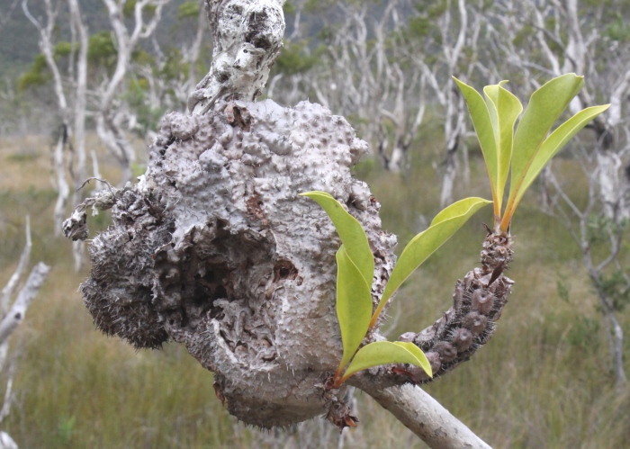
| Myrmecodia tuberosa | Myrmecodia tuberosa | |
.JPG) |
.JPG) |
|
| Description:Plant | Description:Flower of plant to left | |
| Location:Old Coen Road Track, Iron Range, North Queensland | Location:Old Coen Road Track, Iron Range, North Queensland | |
| GPS coordinates:Withheld | GPS coordinates:Withheld | |
| Date of photo:3 June 2013 | Date of photo:3 June 2013 | |
| Field No.: 2110A | Field No.: 2110A | |
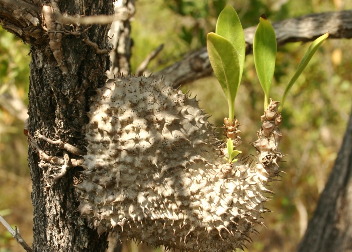
| Myrmecodia tuberosa | Myrmecodia tuberosa | |
 |
 |
|
| Description:Plant | Description:Plant | |
| Location:Tozer's Gap, Iron Range, North Queensland | Location:Iron Range, North Queensland | |
| GPS coordinates:Withheld | GPS coordinates:N/A | |
| Date of photo:2 June 2013 | Date of photo:24 September 2007 | |
| Field No.: 2087 | Field No.: U470 | |
| Myrmecodia tuberosa | Myrmecodia tuberosa | |
.JPG) |
.JPG) |
|
| Description:Plant | Description:Flowers | |
| Location:Tozer's Gap ,Iron Range, North Queensland | Location:Tozer's Gap, Iron Range, North Queensland | |
| GPS coordinates:Withheld | GPS coordinates:Withheld | |
| Date of photo:2 June 2013 | Date of photo:2 June 2013 | |
| Field No.: 2092 | Field No.: 2092 |
References (accessed 1 January 2017):
Huxley, C.R. & Jebb, M.H.P., (1993) The tuberous epiphytes of the Rubiaceae 5: A revision of Myrmecodia. Blumea. 37(2):271-324
Image use policy 
This work is licensed under a
Creative Commons Attribution-Noncommercial 2.5 Australia License.
Page created 17 May 2013
Page edited 1 Januray 2017
© Roger Fryer and Jill Newland 2013 - 2017