|
|
Alpinia modesta |
Alpinia
modesta |
| |
|
.JPG) |
.JPG) |
| |
|
Description:
Flower |
Description:
Flower spike |
| |
|
Location:Hypipamee
Crater, Atherton, North Queensland |
Location:Hypipamee
Crater, Atherton, North Queensland |
| |
|
GPS coordinates: 17˚25.7016S
145˚29.1708E |
GPS coordinates: 17˚25.7016S
145˚29.1708E |
|
|
Date:22
January 2017 |
Date:22
January 2017 |
| |
|
Field
No.:5946 |
Field
No.:5946 |
| |
|
|
|
| |
|
Alpinia modesta |
Alpinia
modesta |
| |
|
.JPG) |
.JPG) |
| |
|
Description:
Flower spike |
Description: Flower spike |
| |
|
Location:Hypipamee
Crater, Atherton, North Queensland |
Location:Hypipamee
Crater, Atherton, North Queensland |
| |
|
GPS coordinates: 17˚25.7016S
145˚29.1708E |
GPS coordinates: 17˚25.7016S
145˚29.1708E |
| |
|
Date:22
January 2017 |
Date:22
January 2017 |
| |
|
Field
No.:5946 |
Field
No.:5946 |
| |
|
|
|
| |
|
Alpinia modesta |
Alpinia
modesta |
| |
|
.JPG) |
 |
| |
|
Description: Flower buds |
Description: Plants |
| |
|
Location:Mt
Edith, Danbulla National Park, North Queensland |
Location:Clohesy
Fig Tree, Kuranda, North Queensland |
| |
|
GPS coordinates: 17˚07.379S
145˚37.769E |
GPS coordinates:N/A |
| |
|
Date:3
November 2013 |
Date:17
February 2007 |
| |
|
Field
No.:2298 |
Field
No.:U840 |
| |
|
|
|
| |
|
Alpinia modesta |
Alpinia
modesta |
| |
|
.JPG) |
.JPG) |
| |
|
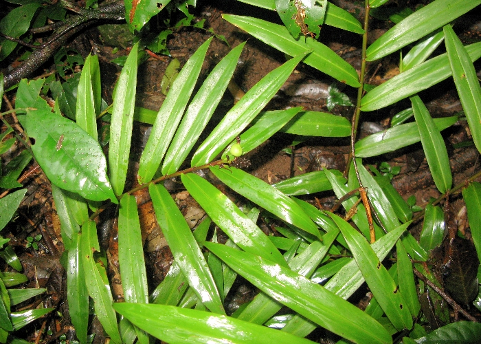
Description: Fruit |
Description: Plants in habitat |
| |
|
Location:Crawford's
Lookout, Palmerston Highway, North Queensland |
Location:Hypipamee
Crater, Atherton, North Queensland |
| |
|
GPS coordinates: 17˚36.5367S
145˚47.5555E |
GPS coordinates: 17˚25.7016S
145˚29.1708E |
| |
|
Date:6
April 2008 |
Date:22
January 2017 |
| |
|
Field
No.:U841 |
Field
No.:5946 |
| |
|
|
|
| |
|
|
|
| |
|
|
|
